Distributions: Screen grabs of the interactive GoogleEarth Map
|
GoogleEarth is available as a free download (if it is not on your computer already). After installation, simply download the .kmz file to the left and it will open automatically in GoogleEarth. Over 500 island dwellings will then be displayed. By clicking on each one, detailed information from both the National Monuments Records and recent research will appear. Different icons for each site indicate a particular classification. The majority are listed as crannogs, while others are listed as duns (forts), fortified islands, etc. In many cases, zooming in will provide detailed views of each site. Some still contain the remains of houses and causeways which are still visible from aerial photos, especially stone sites in the Western Isles. I hope you enjoy the map and please let me know if you have any questions or comments.
| ||

General distribution of all Scottish Island Dwellings. Note high cencentrations in the Western Isles, especially the Uists.
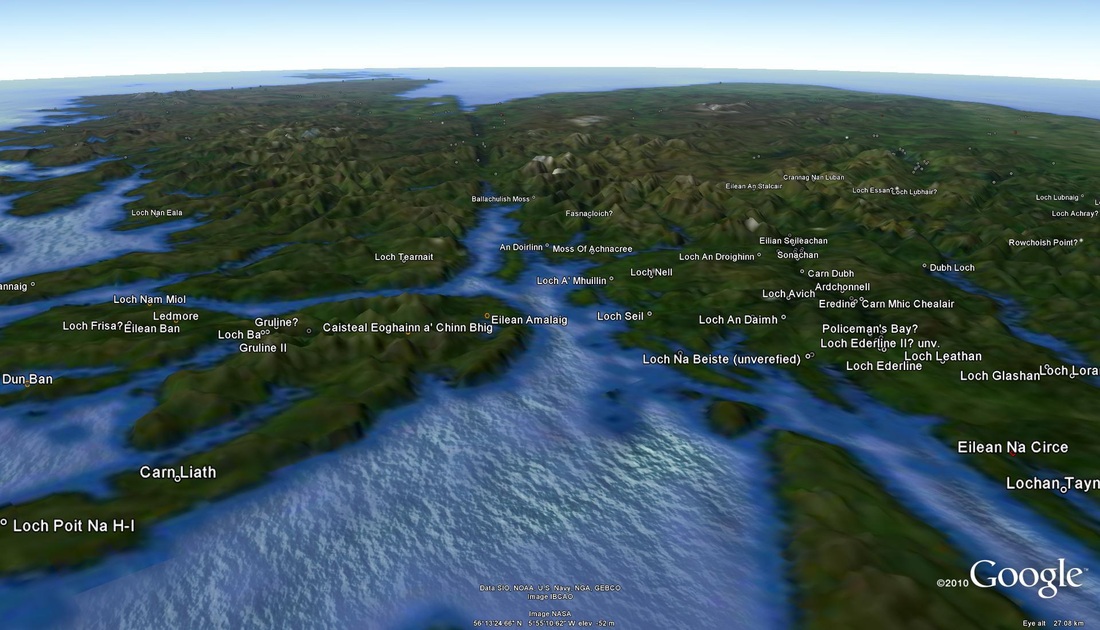
Oblique view looking east towards the Great Glen.
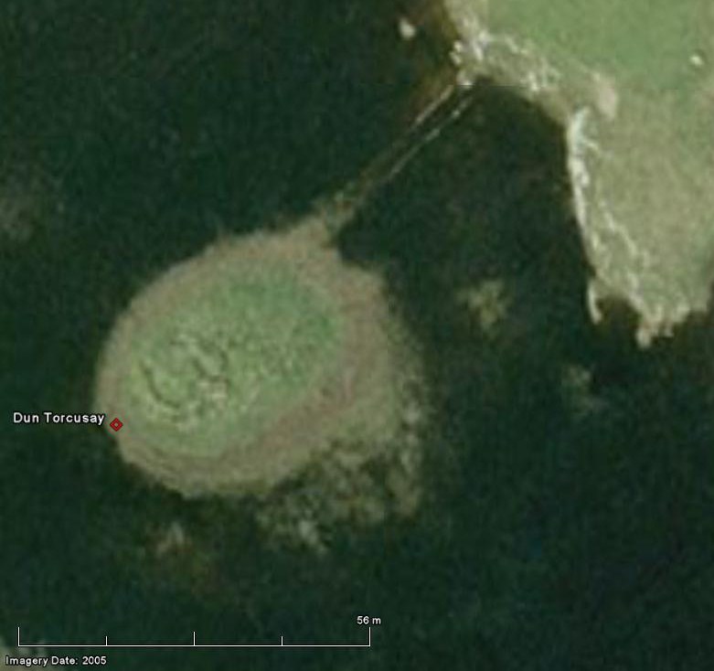
Close-up of Iron Age islet. Note circular stone foundation or 'dun' faintly visible.
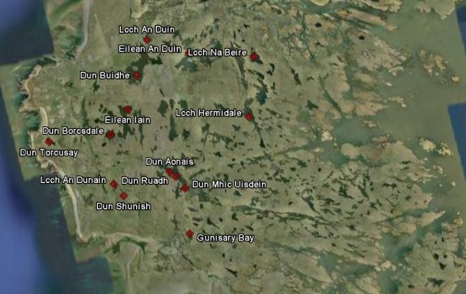
Regional view of Benbecula, Western Isles
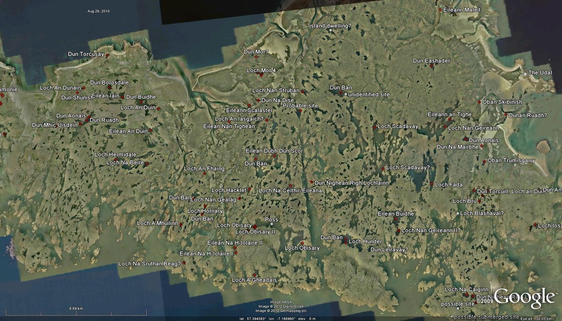
View of high density area around North Uist
